| |
Distance: 4 km
Time to complete: 1 hour 15 minutes
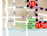
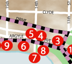
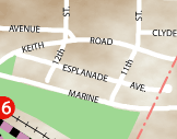
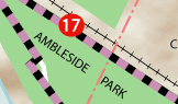
Ambleside has become a distinctive part of the West Vancouver community. As the first major development adjacent to the First Narrows crossing, the area has evolved and changed to accommodate the times. The eastern section of Ambleside Park is owned by the Squamish Nation. Originally the Ambleside area was used for summer camping by Vancouver residents. It slowly evolved into cottage country and eventually permanent settlers inhabited the region. �Navvy� Jack Thomas was the first resident of the area in 1860s and helped to pave the way for future development. As time progressed, so too did the area. By the 1940s village stores emerged and approximately 9,000 people called Ambleside Village home. Today, the region boasts numerous shops, restaurants, community services and parks which are frequented by residents and visitors alike, for although the area has changed, it maintains a distinctive village atmosphere and feeling enjoyed by all.
|
|
|
|